Posts in gis
QGIS: Compass with magnetic declination
Learn to add magnetic declination to all your QGIS maps and charts! Part 1 is here.
Install a QGIS plugin
QGIS has a multitude of amazing, community-supported plugins for almost any purpose. Today I'll talk you through how to install a QGIS plugin, Magnetic Declination. To use it for the first time, check out Add a compass rose here.
Working with basic topography data
You could perhaps tell from some previous posts that I'm a bit of a geospatial data nerd. In keeping with that, for several years I've been searching on and off for reliable sources of elevation/topographic data. This week, at long last, I think my search can be over.
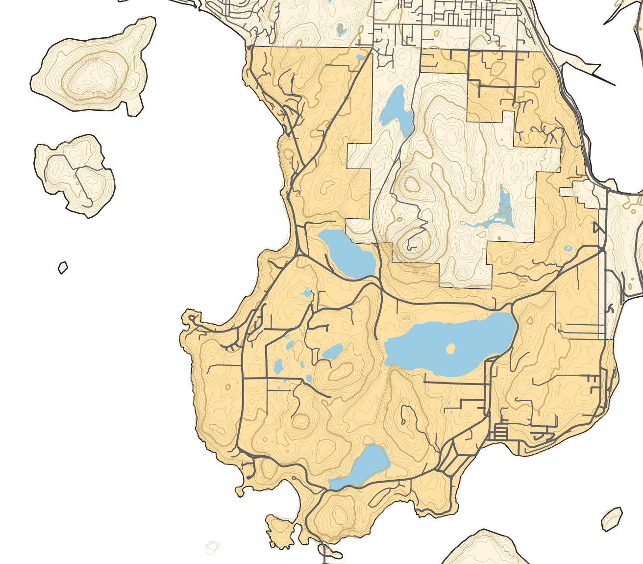
The short version: You can download elevation data from NASA's Shuttle Radar Topography Mission and then generate contour lines from that.

Merging related datasets (aka hydrants are awesome)
Mt. Erie Fire has had a dataset of hydrant locations for many years now, based on data we originally got from Skagit County. We also recently got access to a dataset from one of our mutual aid partners to the north, Anacortes, which includes some of the Public Utility District hydrants they've been taking over of late. The tricky bit: some hydrants are represented in both datasets, with slightly different positions and metadata. This is a summary of how I finally learned how to spatial join in order to construct one dataset of hydrant locations covering both MEFD and Anacortes's service areas.
Generating district familiarity maps with QGIS
As discussed previously, I've benefitted a lot from studying my district very explicitly. Generating maps automatically played a huge role in that process, and I wanted to share a high-level overview of how to do this yourself in case any other GIS nerds are also fire nerds, or vice versa.
Learning my way around the district with QGIS + Anki
At the start of this year, I rejoined Mount Erie Fire Department (MEFD), a volunteer fire + rescue district just south of Anacortes, WA. Onboarding with the district involves learning a great deal: about fire, rescue, EMS, standard operating procedures...and the district itself.