Posts in mount erie fire
Pumps and suction
I've been slowly learning how to operate the pumps on Mt. Erie's apparatus. A lot of that is hands-on stuff – flip this switch and then pull this lever to accomplish goal xyz. Those details are really important, but for my specific brain, I benefit from understanding the underlying theory too, so I've been reading up a bit and trying to build intuition around some of the fundamentals.
In doing so, I learned something that blew my mind: there is a physical limit to how high up you can possibly suck water, no matter how good your pump is. This is my attempt to explain that in a way that actually builds intuition rather than just memorizing "oh, we can only suction 10 vertical meters in the best case".
Merging related datasets (aka hydrants are awesome)
Mt. Erie Fire has had a dataset of hydrant locations for many years now, based on data we originally got from Skagit County. We also recently got access to a dataset from one of our mutual aid partners to the north, Anacortes, which includes some of the Public Utility District hydrants they've been taking over of late. The tricky bit: some hydrants are represented in both datasets, with slightly different positions and metadata. This is a summary of how I finally learned how to spatial join in order to construct one dataset of hydrant locations covering both MEFD and Anacortes's service areas.
Downloading a wiki for offline use
Some background: Mount Erie Fire Department (MEFD) has an awesome handbook in mediawiki, which contains SOPs, information on equipment we carry, and other very useful information. Sometimes one might want to reference the handbook without a robust internet connection (I'm looking at you, Bowman Bay). So my goal was to come up with a way to reference a snapshot of the handbook offline.
Learning my way around the district with QGIS + Anki
At the start of this year, I rejoined Mount Erie Fire Department (MEFD), a volunteer fire + rescue district just south of Anacortes, WA. Onboarding with the district involves learning a great deal: about fire, rescue, EMS, standard operating procedures...and the district itself.
Learn MEFD's roads with Anki
Here are the steps to get started learning MEFD's roads with the Anki deck I generated over in Generating district familiarity maps with QGIS.
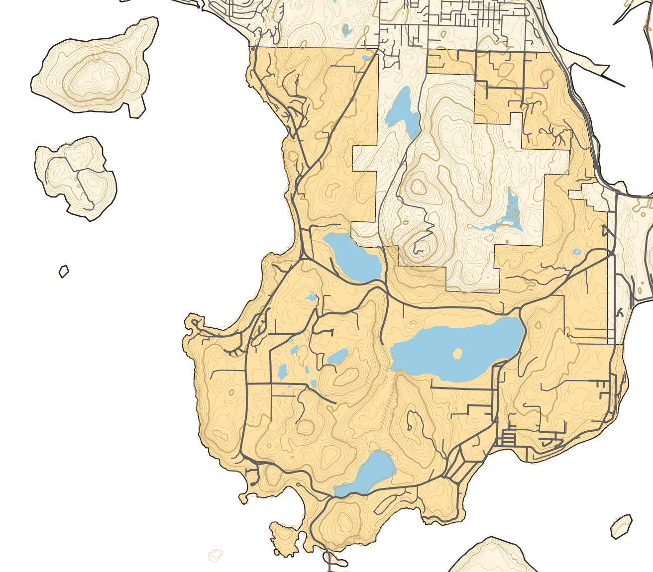
Working with basic topography data
You could perhaps tell from some previous posts that I'm a bit of a geospatial data nerd. In keeping with that, for several years I've been searching on and off for reliable sources of elevation/topographic data. This week, at long last, I think my search can be over.
The short version: You can download elevation data from NASA's Shuttle Radar Topography Mission and then generate contour lines from that.
