Greetings from Wisconsin (Day 8)
, 6 min, 1037 words
Tags: biking transamerica-2021
The short version: since departing on Sunday, May 23, I've biked just over 500 miles, passed through countless cute small towns, and eaten a whole lot of peanuts and almonds. Yum! I've also biked in conditions ranging from 85 and sunny to 40 and raining. Today was my first rest day, and my awesome family came out to hang out and generally be lovely in my vicinity. Tomorrow I start the second leg of my journey, bound for Fargo, North Dakota.
See Appendix A for a short "retrospective itinerary" thus far.
Okay, so it turns out weather is a really big deal on a bike tour. I know, duh. But hey, lesson learned! Next time I wake up to 40 degree horizontal headwind rain, I'm going to roll over and go back to sleep for approximately 24 hours. Live and learn.
Since that miserable Day 6, though, I've had two utterly lovely days of riding, and while I still have a ways to go on the fitness front (big hills still provoke a certain level of dread), I'm definitely starting to hit my stride.
But before I share pictures of the gorgeous route along and near the Mississippi, a word from my (not actual) sponsors:
- Vegetables: hard to carry on the road sometimes, but so totally delicious back in town. [sound of biting down into a ripe, juicy tomato]
- Peonies in a plastic mustard container. The perfect scent of home for a quick family visit.
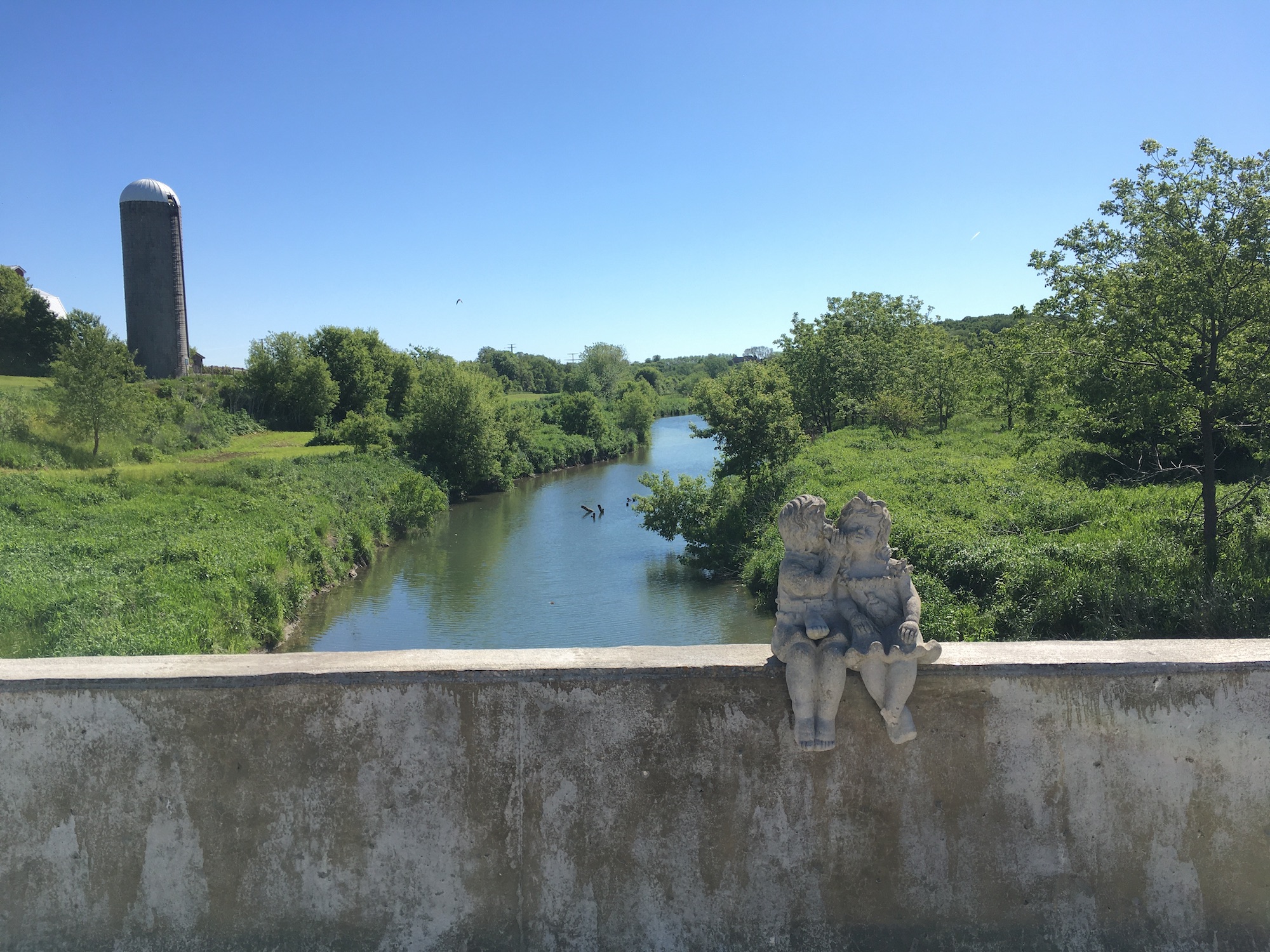
- Statues of lovers on a bridge in rural Iowa: reminding people of love since...whenever someone placed the statue there. (see below)
- And finally, thanks to gentle tailwinds for their support. Gentle tailwinds: subtle enough you might not even notice them, but oh so significant.
But enough of that, here's some pictures of my route near the Mississippi.
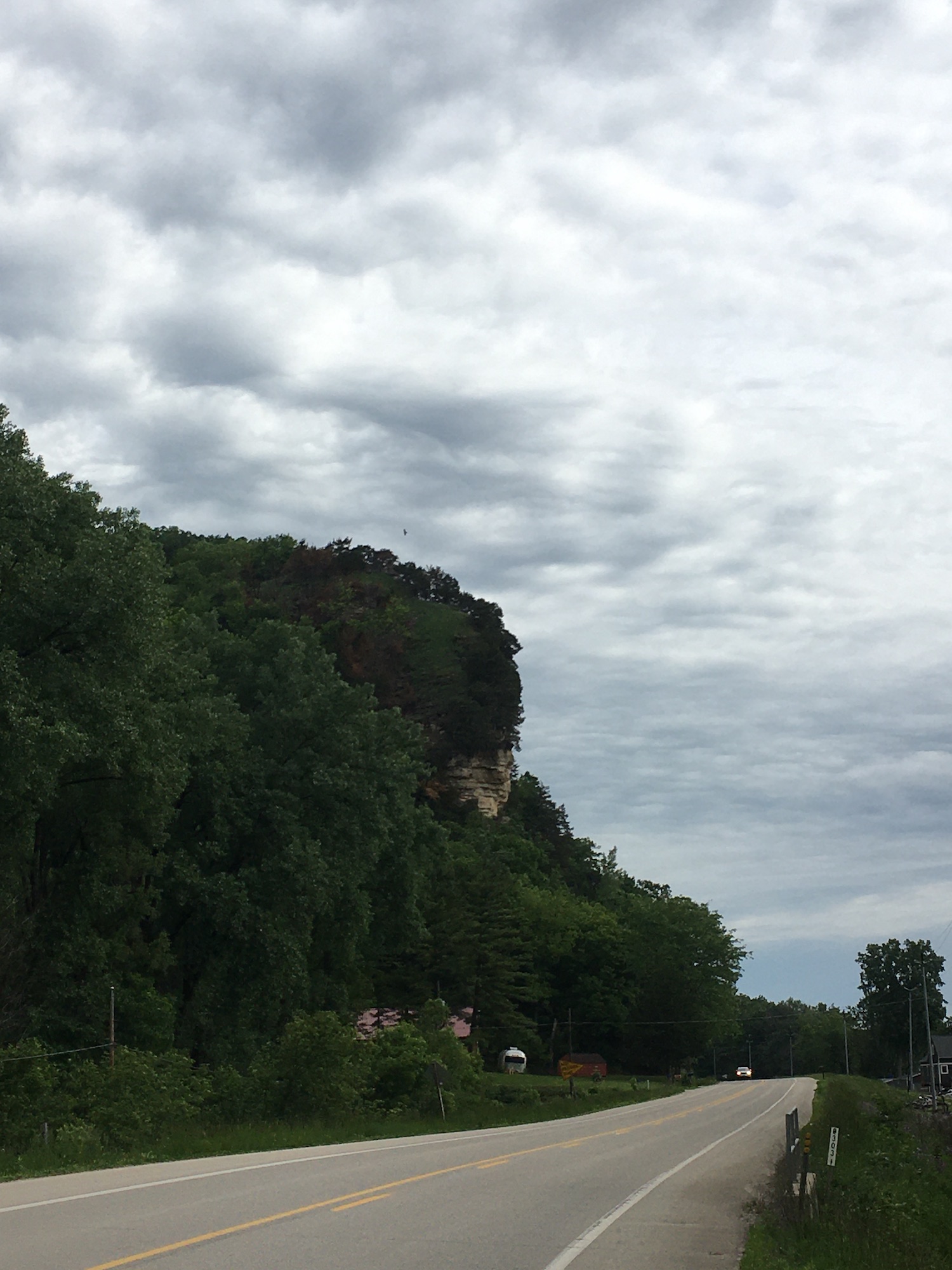
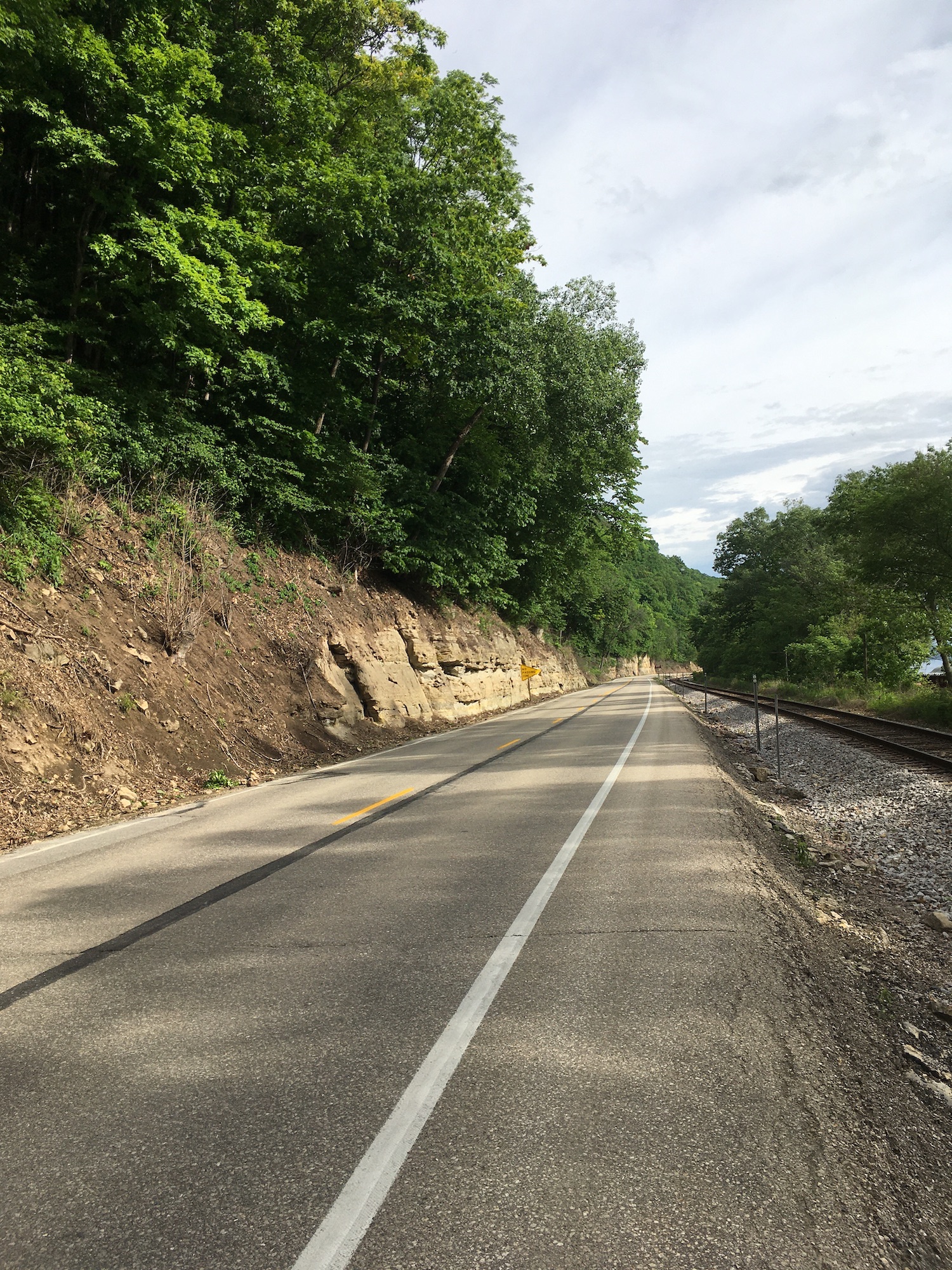
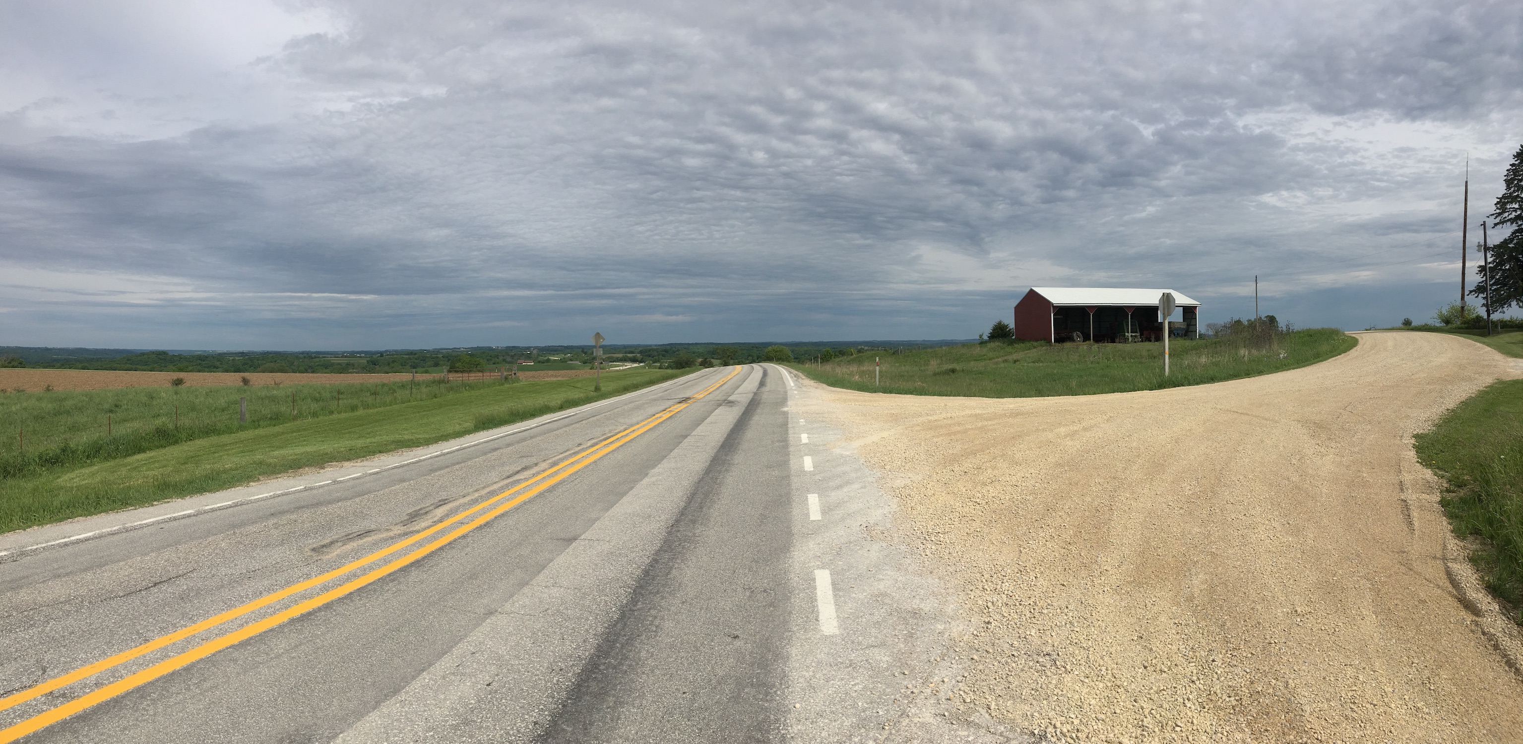
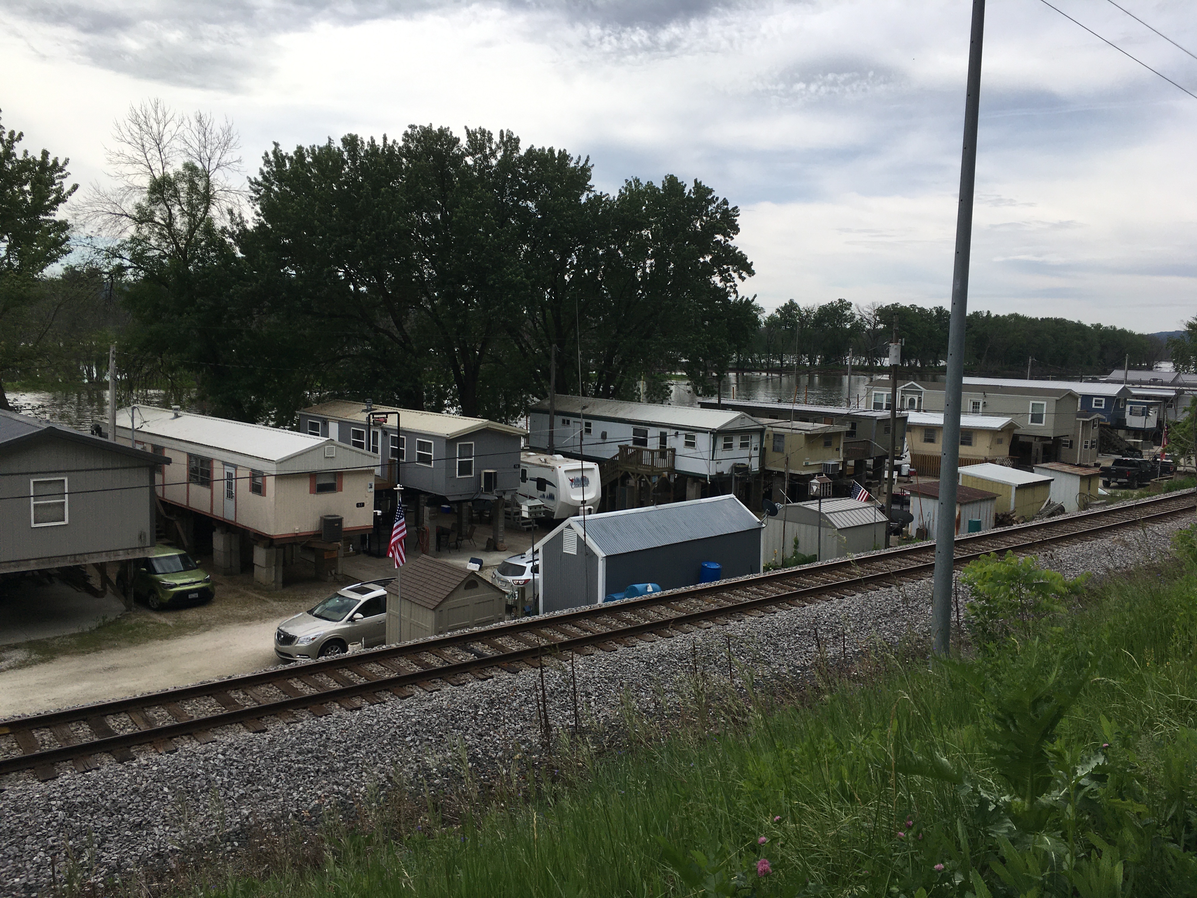
As you can see, there's some elevation there! Luckily, much of yesterday (with the notable exception of about 20 miles in late morning – the third pic above was taken at the top of a devilish climb, but as always, it looks more 3D in real life) avoided the worst of the hills. Just gorgeous river vistas and enjoyable flats, with cute towns interspersed every 15-20 miles. Speaking of cute towns, I got a request for more cute habitation pictures, so here's one that really tickled me: a little community living right on the Mississippi, and therefore elevated a little bit.
All this riding has given me ample time for introspection, and I've realized that I don't enjoy feeling hurried in my ride. It's fun covering lots of ground...when I can, and am excited about it. Right now, with my plan to bike from Chicago to Anacortes, I need to average 60 miles a day, every day except for five rest days along the way. That feels awfully rushed. So I've scoped out some Amtrak schedules and am planning to take some train-assisted shortcuts, to facilitate enjoying the spaces I'm in rather than rushing through them. I hope I've conveyed from the beginning that this was meant to be fun, and that if it wasn't fun I was going to change something, so this shouldn't come as a huge surprise to anyone. If not...surprise! I'm valuing my own mental and physical health over an arbitrary benchmark of "bike from A to B". Not an easy decision, but I believe it's the right one for me.
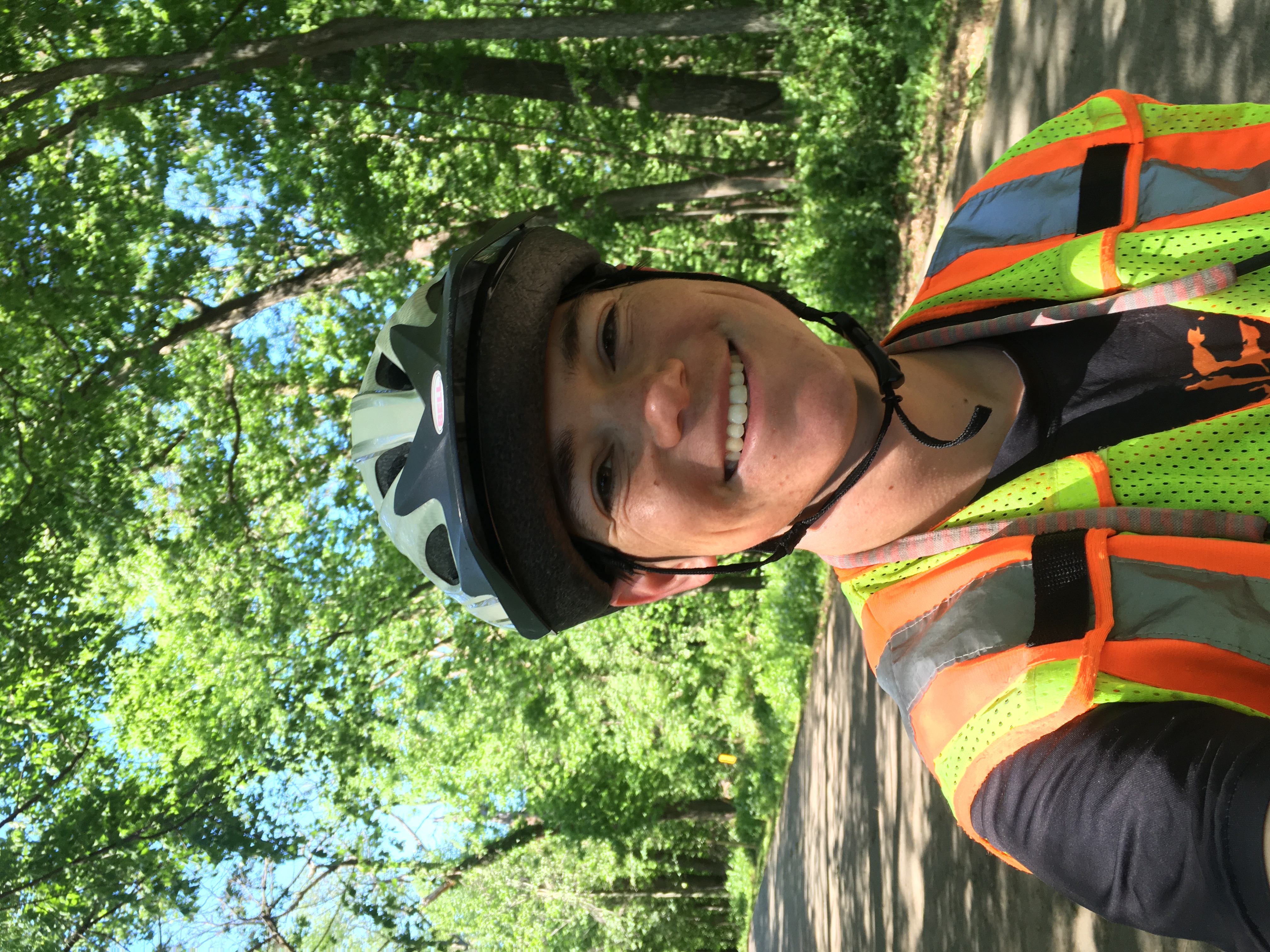
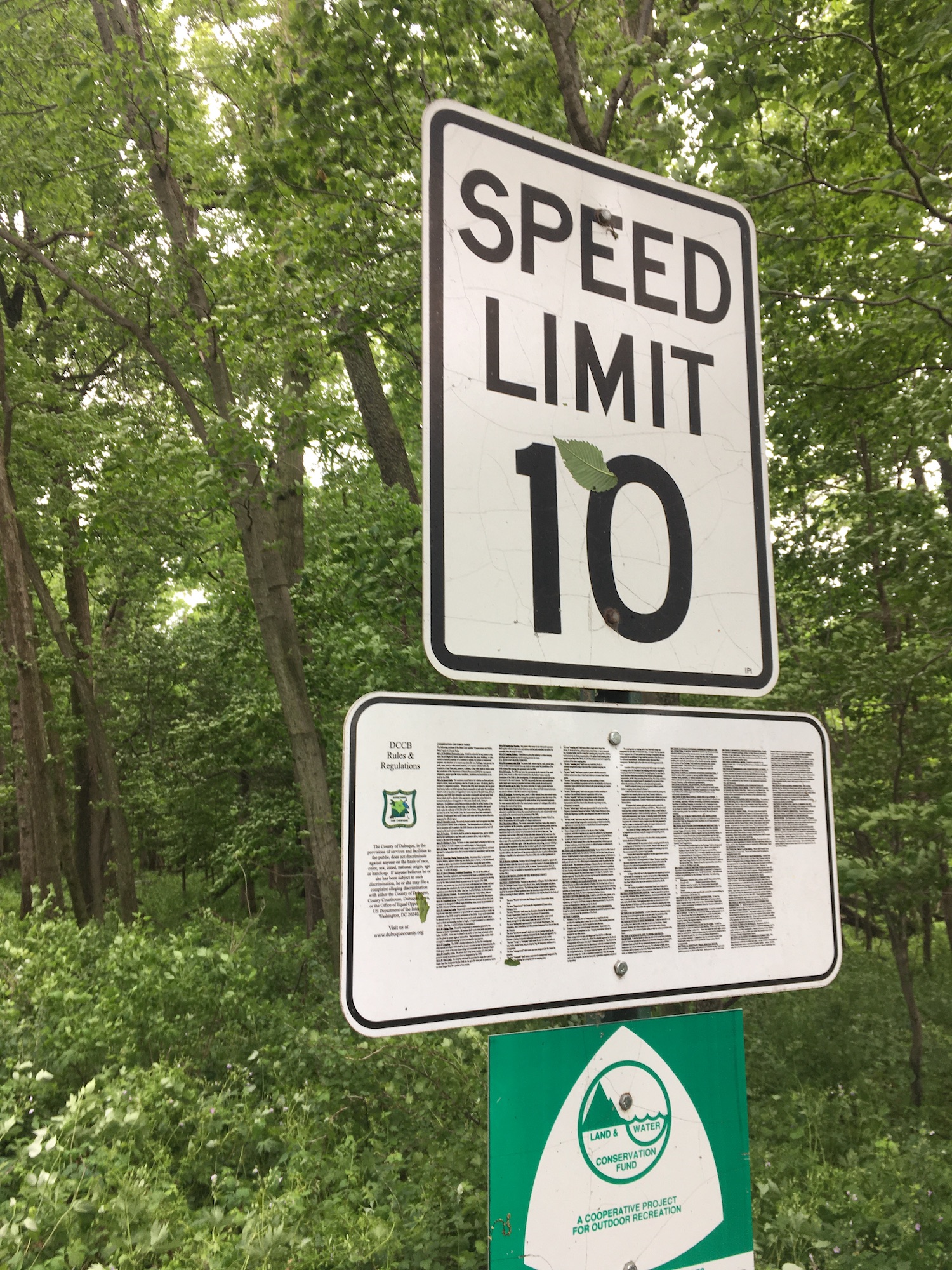
Anyway, I'll leave you with one last selfie and the least useful sign I've encountered thus far (hint: not the speed limit sign).
All the best,
Zeph
Appendix A: My "retrospective itinerary" so far:
- Day 1: 65 miles to Odell, IL. Camp.
- Day 2: 57 miles to Henry, IL. Camp.
- Day 3: 62 miles to Cambridge, IL. Warm Showers hosts, with amazing kids.
- Day 4: 72 miles to just outside Muscatine, IA. Camp.
- Day 5: 63 miles to Onslow, IA. Warm showers hosts in a cool and only slightly spooky house.
- Day 6: 43 miles (I think?) to just north of Dyersville. Camp. See miserable rainy update above. Honestly, 43 miles in those conditions feels damn respectable.
- Day 7: 54 miles to Monona, IA. Camp.
- Day 8: 83 miles to Onalaska, WI. Hotel with family
- Day 9: 0 miles (rest day!) to Onalaska, WI. Hotel again, this time without family
Appendix B: Lovers on a bridge
