Glacier National Park (Part 2, Day 3)
, 8 min, 1418 words
Tags: biking transamerica-2021
The last three days I have had the incredible pleasure of biking towards, around, and inside of Glacier National Park. It's been incredible.
Disclaimer: I'm writing all this on Day 3 of my second chunk of trip, but I have absolutely no signal, so it will get sent when I can connect to wifi/cell networks again.
This three-day chronicle is (not actually) brought to you by:
- Freshly filtered snowmelt streams. Freshly-filtered snowmelt streams: cold and fresh and an extra connection to nature, without the bottled water intermediary.
- Glacial valleys. Glacial valleys: U shaped and transfixing.
- The Lewis and Clark Thrust Fault: old rocks on top of new, just to confuse everyone.
Day 0: train to Cut Bank
Following the anniversary bash (which was delightful, thanks organizing committee), I hopped back on Amtrak and headed to Cut Bank, MT. It was a 28 hour train ride, so a bit longer than my first train adventure this trip. But I had a lovely conductor and attendant, including one employee who gave a rousing accepting speech about how everyone is welcome on the train and anybody suggesting otherwise will be asked to leave. Anyway, I was the only person getting off or on in Cut Bank, so it was a speedy stop for sure.
Day 1: Cut Bank to Marias Pass
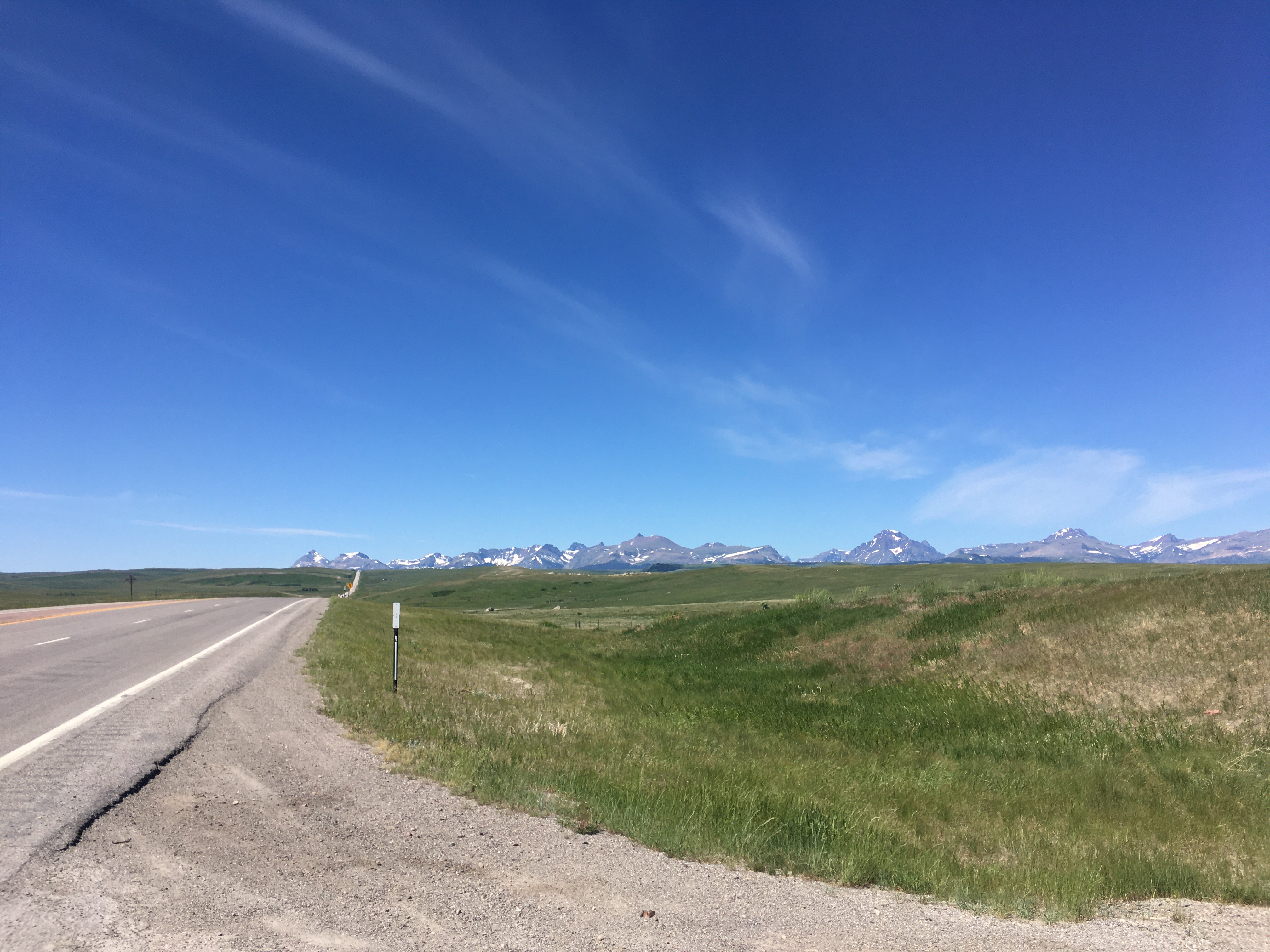
When I woke up in Cut Bank, I couldn't yet see the mountains, just an ominous hill on the way out of town. Over the course of the day, the mountains went from distant glimmers on the horizon, to fairly close, to "holy crap I'm in them now". This was my first experience with really watching something distant get closer on a bike, and it was really special for me. It felt a bit like the first time I walked out of a state forest and down the road into an honest to goodness town – it just blew my mind.
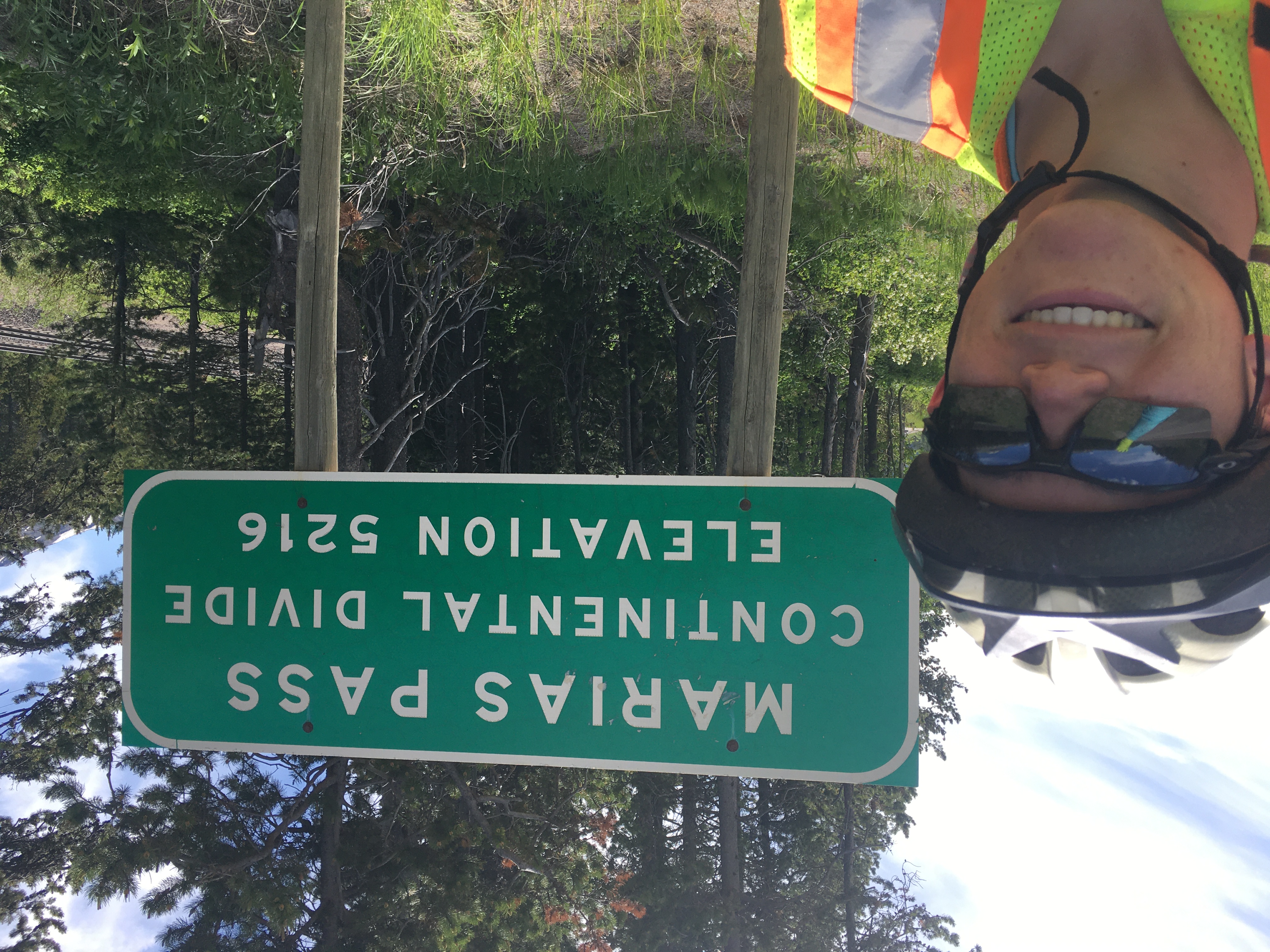
Over the course of the day, I gained a little over 1200 feet of elevation, my first real day of climbing rather than going up and down about the same amounts. I ended right at the top of the Continental Divide in Marias Pass, a spectacular viewpoint sandwitched between Glacier National Park and the Great Bear Wilderness.
A side note: I've always wondered where mosquitoes go during the day. Now I know the answer: they all converge on the Marias Pass National Forest campsite. (Actual answer: under rocks and logs to nap the day away) Seriously, the bugs there were out of this world. I spent a few hours at a little Memorial Square with fabulous views consistent tourist traffic, then cooked dinner in camp and immediately fled into my tent. Only two mosquitoes made it in in the ten seconds the door was open, and about forty then hovered ominously just outside.
Day 2: Marias Pass to Sprague Campground
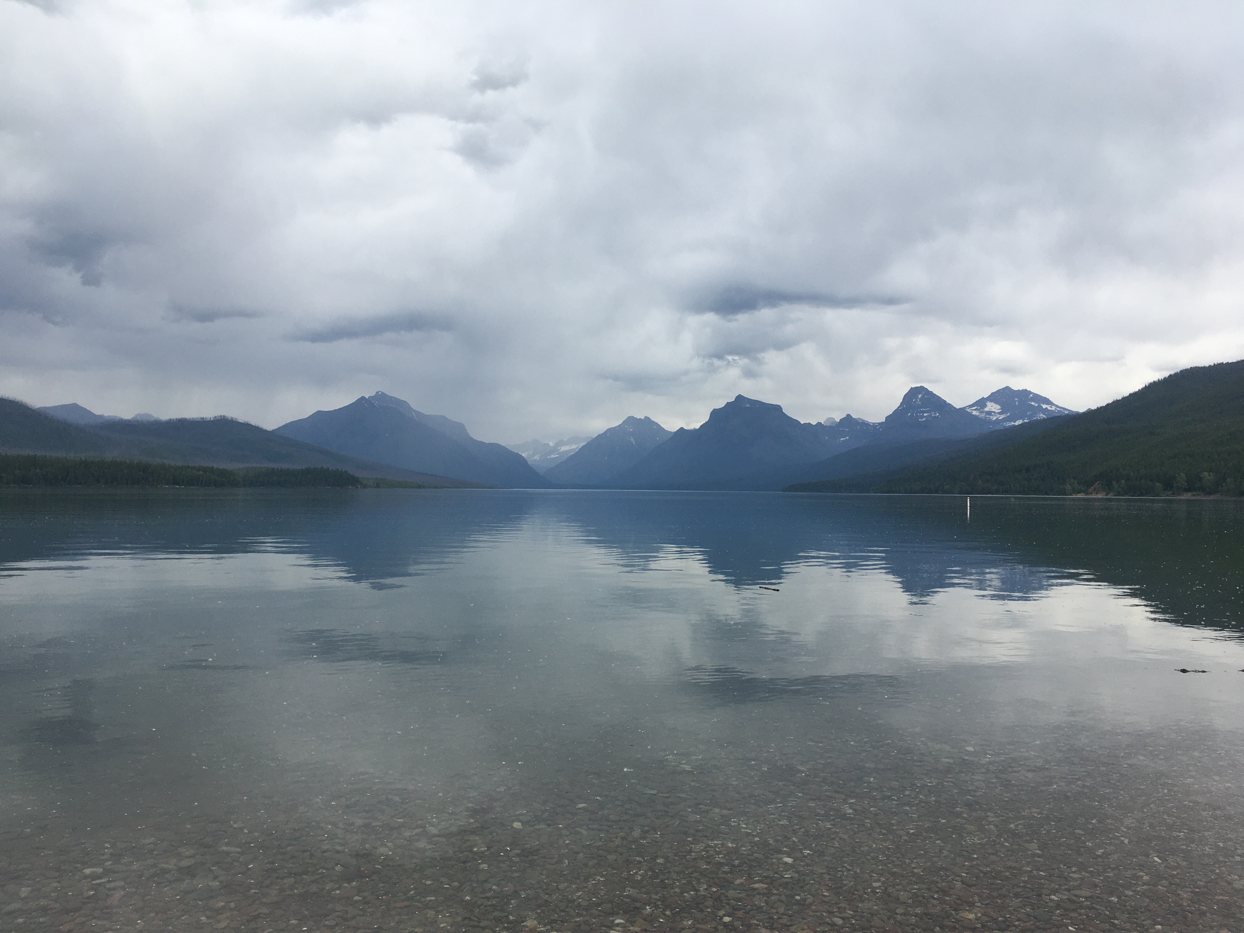
Day two started with a frustratingly long descent – frustrating because it was still quite chilly, and the downhill gave me no time to warm myself up. But it was lovely again – over the first twenty miles, almost all of which were descent, I averaged about ten miles an hour because I kept having to stop to take pictures of the incredible scenery. I rolled into West Glacier and entered the park – luckily the park's new timed entry tickets only apply to motorized vehicles. However, there's a section of the Going to the Sun Road that is closed to bikes during peak hours, so I had to (got to) kill a few hours in Apgar Village. For those unfamiliar with Glacier geography, it's at the very end of Lake Macdonald (McDonald?) and you can look out over the lake straight into glacially carved valleys. It's a spectacular vista, and has definitely earned its place on all the postcards in the park. After the road opened at 4pm, I biked my final eight or so miles to Sprague Campground, which has a hiker/biker site and a promise not to turn bikers and hikers away, even if it's full.
So I settled in, and then I got to know my fellow hikers and bikers. I think there were five of us, and we made a campfire, invited the camp host Ed to join us, and roasted hot dogs and chatted for hours into the evening. What a fun little community!
Day 3: Glacier National Park's Logan Pass
Finally, today I set off into the park along the Going to the Sun Road, thinking I'd continue until I felt like turning around, but with a tentative goal of Logan Pass (6200') if I felt up for it.
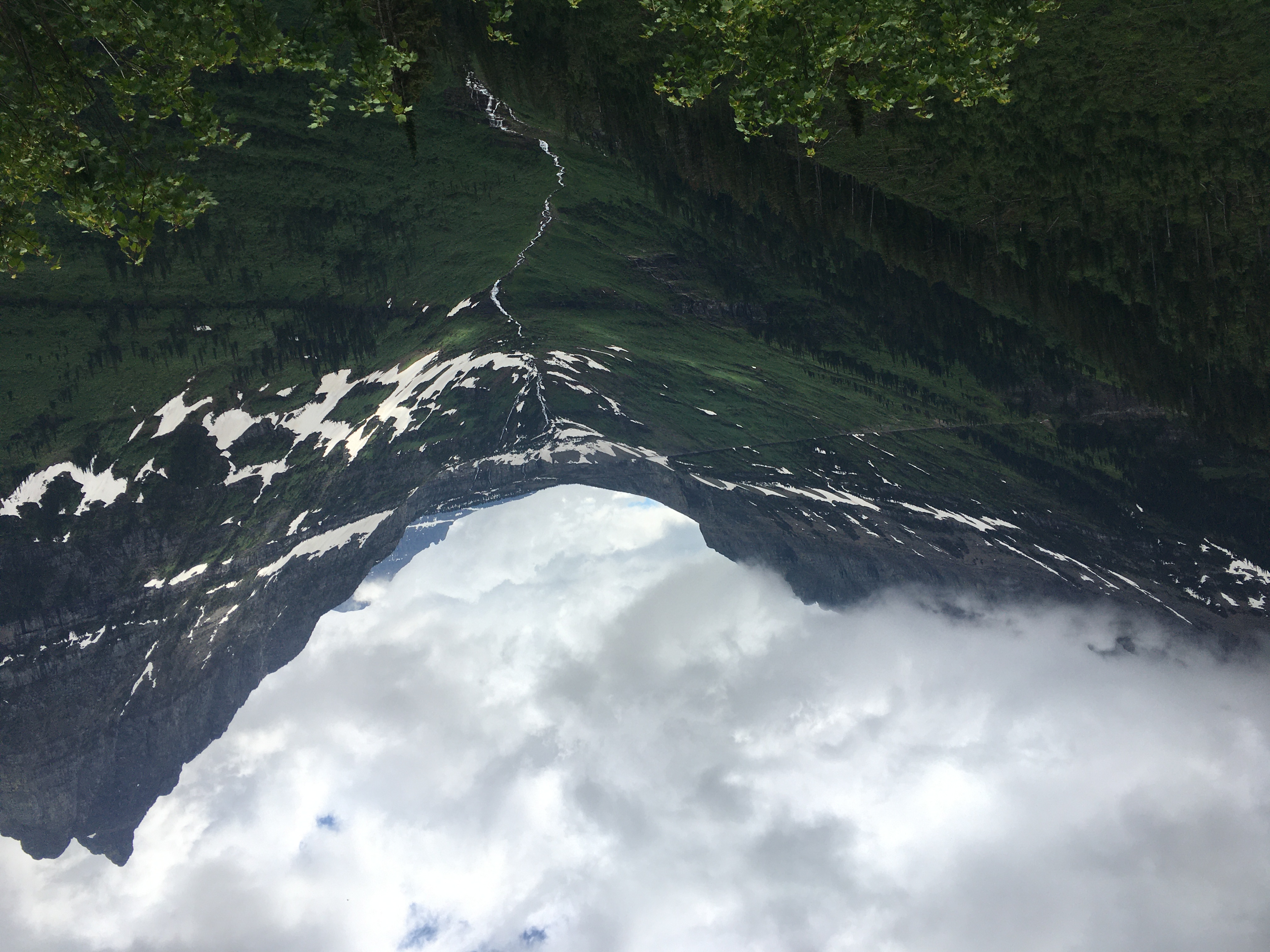
Frankly, words cannot describe this park. It's just...wow. I kept thinking "surely it can't get any more spectacular", and then I'd round a corner or crest a hill and sure enough, there it was, more spectacular than before. The valleys and trees and forest and moss and glaciers and peaks and....just all of it is breathtaking. To make matters even more perfect, much of the road (past Avalanche) was closed to cars and open only to bikers and hikers, so I didn't have to hug the nonexistent shoulder or constantly check behind me for cars. It lent the whole thing a festive air – bikers and hikers just doing their thing all across the roadway, encouraging each other on the uphills and taking pictures for other groups. Talk about an incredible sense of community!
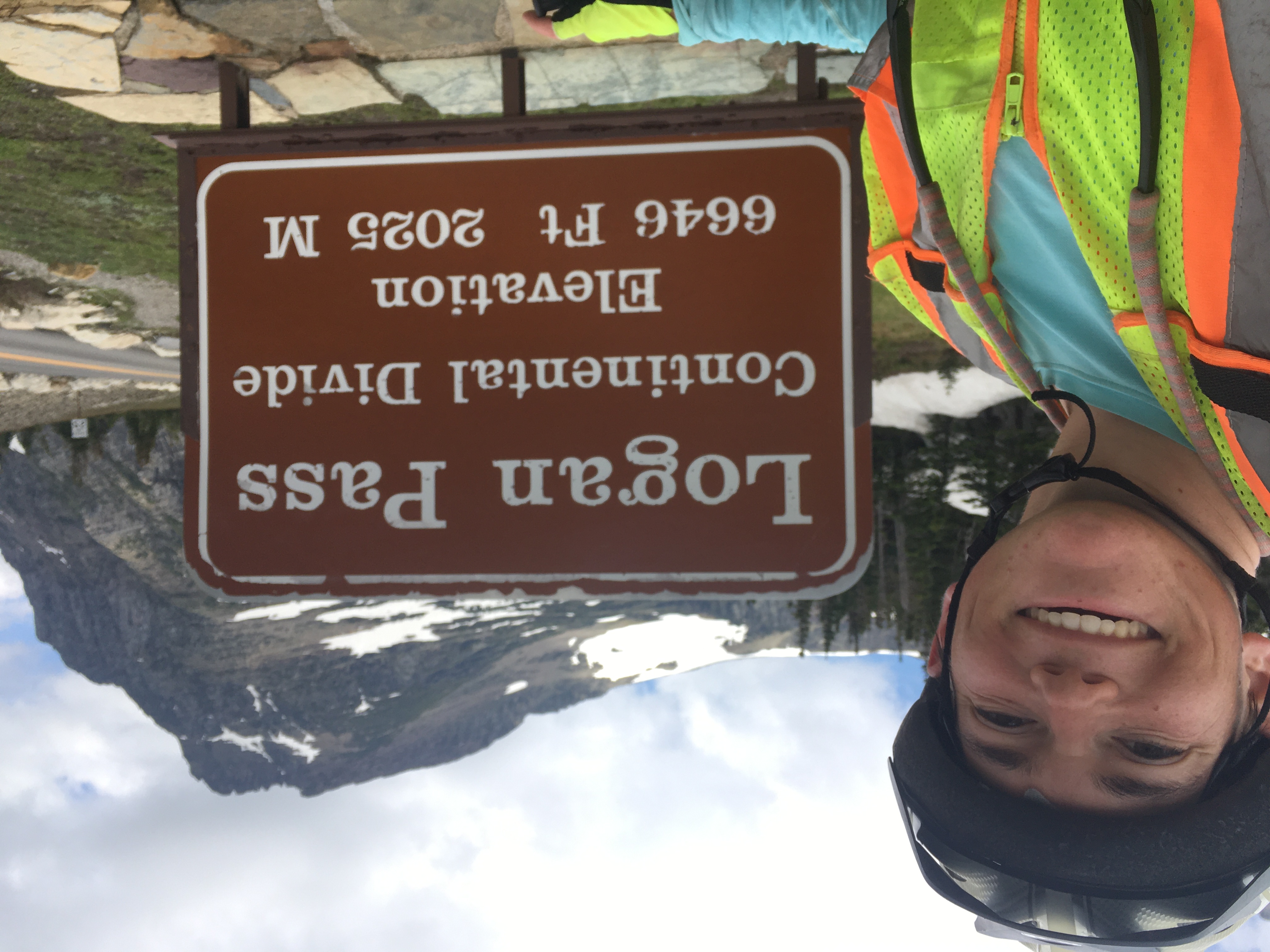
I did end up going all the way to Logan Pass, and I'm glad I did. For one thing, it gives me a modicum of hope for the Cascades, none of whose passes are quite as brutal as Logan. For another, it was glorious and just fun. I'll add some pictures here when I get the chance, but I Took 140 pictures today, so it's gonna take a second to find the best ones to share.
I'm heading into another section with very limited cell service and even more limited opportunities for WiFi, so my updates may be a bit sporadic. But I'm having a blast and seeing an incredible corner of the country.
A few pics:
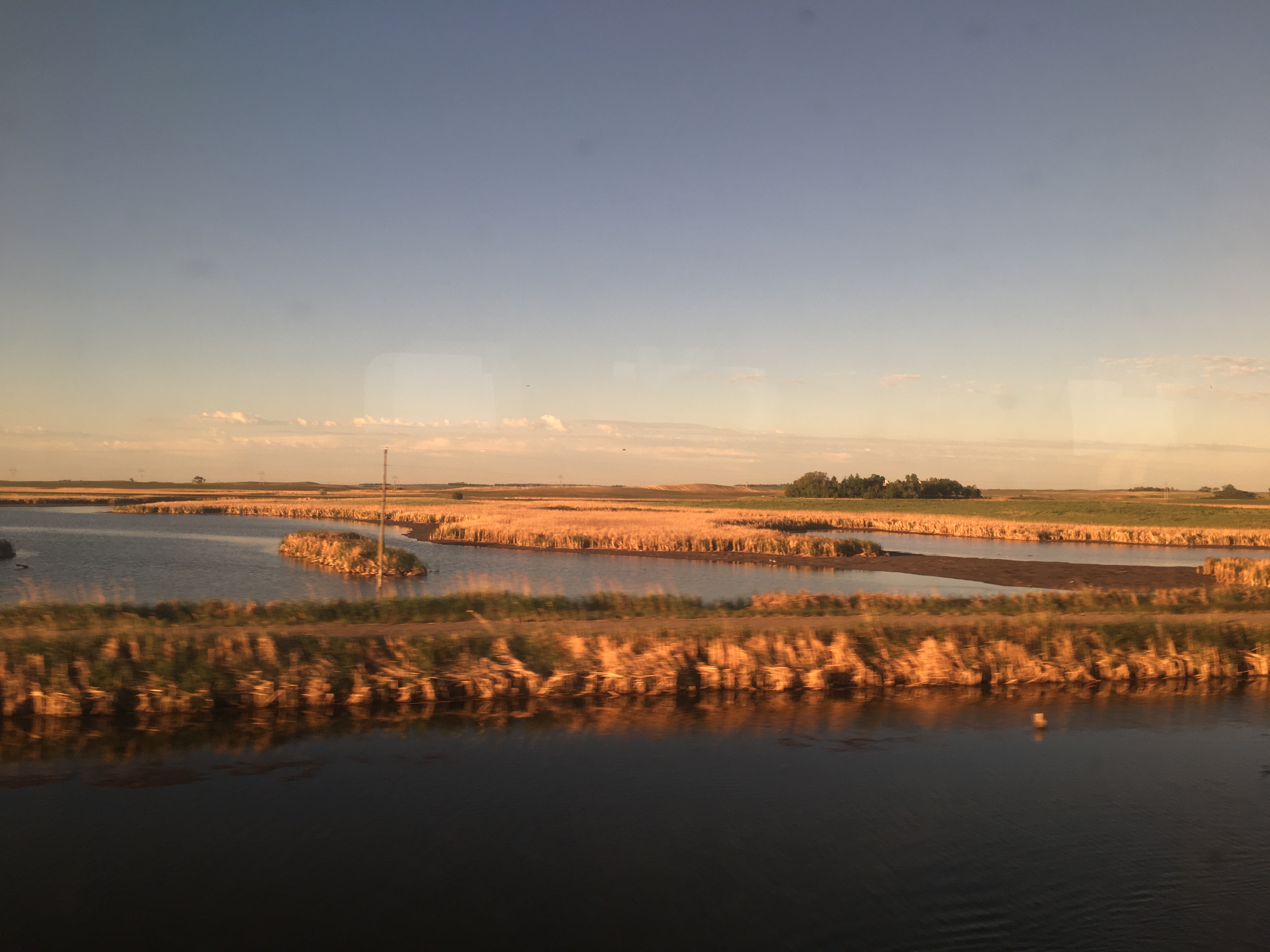
Sunrise day 2.01
Mountains in the distance:
I made it to the Continental Divide! Only took me about thirty tries to get both myself and the sign in this shot (day 2.01)
Lake Macdonald, classic Glacier view (day 2.02)
On the way up to Logan Pass (Day 2.03)
Exhausted but delighted (Day 2.03)
Cheers,
Zeph