Circumnavigation of Orcas Island: Solo kayak trip!
, 6 min, 1192 words
Tags: adventuring anacortes-kayak-tours
As the season in Anacortes drew to a close, I found myself searching for some sort of culminating experience to wrap things up. Since business slows down at the end of September, I was able to get four days off in a row: Monday through Thursday. So I got started planning an expedition of my own! It turned into a full circumnavigation of Orcas Island over four and a half days, with a gale-enforced layover day in the middle.
This was my first solo expedition as well as my first experience planning a trip myself. It was also the reason I finally sat down and made a map of current directions.
Pre-planning
Before planning anything tangible, I had to do some thinking about my goals. After a bit of introspection, I came up with three. In order of importance:
- Maintaining personal safety
- Planning and executing a substantive expedition of my own
- Seeing new places
From there, I made a veritable laundry list of "new places" recommended by friends or on my personal list of places to see this summer. They were scattered all across the San Juans, and it became clear very quickly that I wouldn't be able to see all of them. So it became a matter of priorities.
In order to make the trip "substantive" and allow me to see more places, I decided to pursue a circumnavigation rather than an out-and-back. And to avoid the logistics associated with ferries (wheels, carrying gear, etc.), I decided to leave from and return to our marina slip in Anacortes.
With that, I had a basic outline for a trip, and it was time to sit down and get into details.
Planning: circumnavigation of Orcas
Next up: the question of what to circumnavigate! I knew I'd want to cross Rosario to the San Juans, which left a few options: Orcas, San Juan, Shaw, Lopez... I ruled out Shaw because I wanted more substantial mileage each day. Similarly, I ruled out Lopez because I'd partially circumnavigated on a previous trip and had camped there on a five-day trip I co-guided earlier in the summer. That left Orcas, San Juan, or the entire San Juan archipelago.
I confess I salivated a little over possibly circumnavigating Orcas and San Juan and Shaw and Lopez, but in the end the weather prevented me. On Tuesday, there were predicted small craft advisory conditions. I knew there would be no paddling that day.
The final factor that decided my route was Sucia Island: a local place of legend I hadn't yet visited. So it was decided: I would do a circumnavigation of Orcas with a stop on Sucia Island.
Next up I sat down and looked up tons of currents. This meant a lot of quality time with my Rite in the Rain and current applications, and was the birth of my current direction map. It also resulted in the nerdiest photo I've taken in a while.
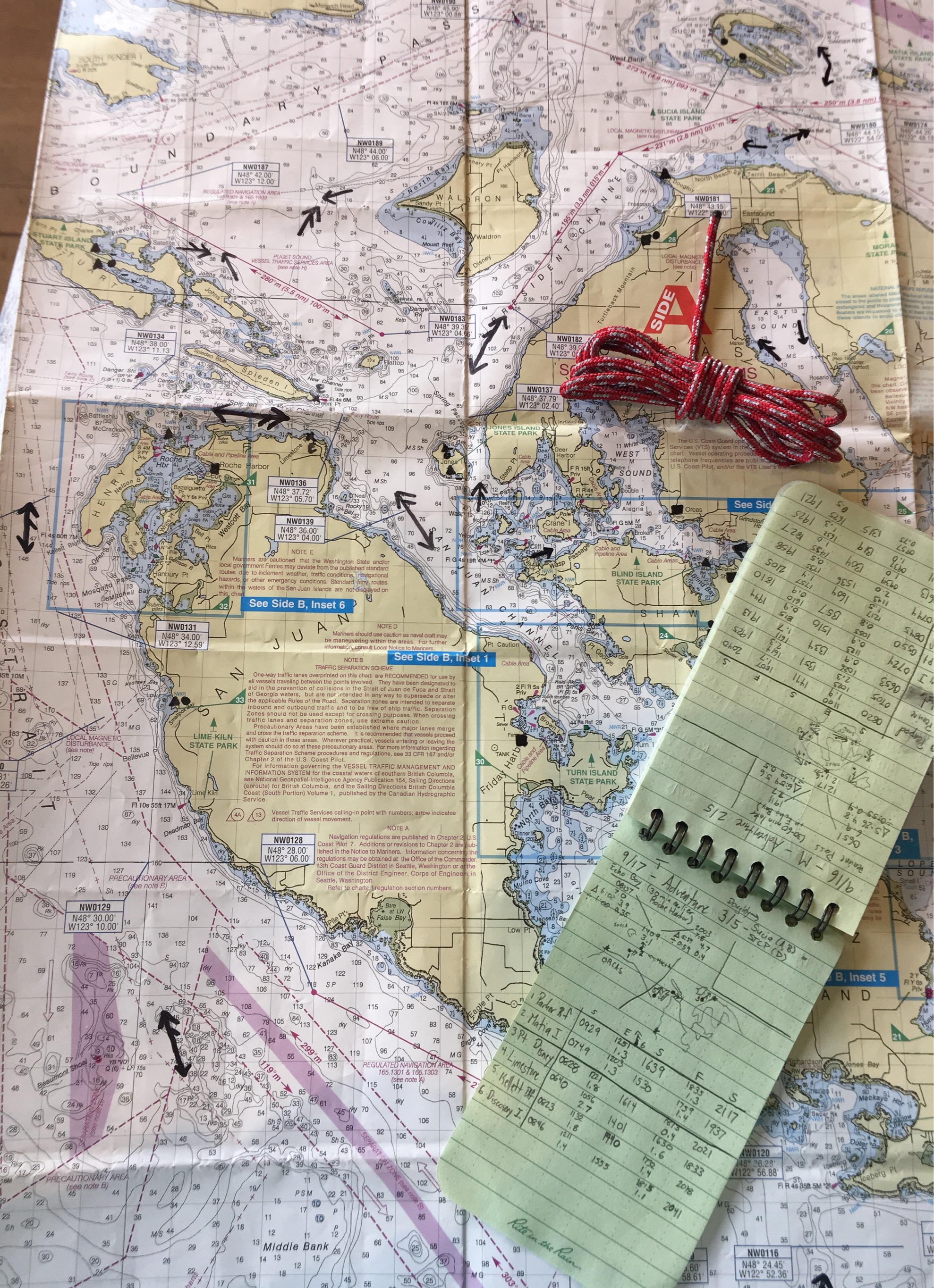
By the end of the planning process, I had a basic template for my trip, starting the afternoon of my last pre-trip day of work. I sanity checked it with Erik (thanks, Erik!), then got ready to go!
Doing the circumnavigation
My general route was counterclockwise around Orcas Island. Rather than give a nauseatingly dull blow by blow, here’s a map of my circumnavigation! You can click on individual points or paths for commentary and sometimes photos.
For some reason, a current bug in Google Maps causes photos in the above map to not show up...sometimes. Mostly on Safari and Chrome, so if you have Firefox that might work? In any case, favorite photos from my circumnavigation of Orcas Island:
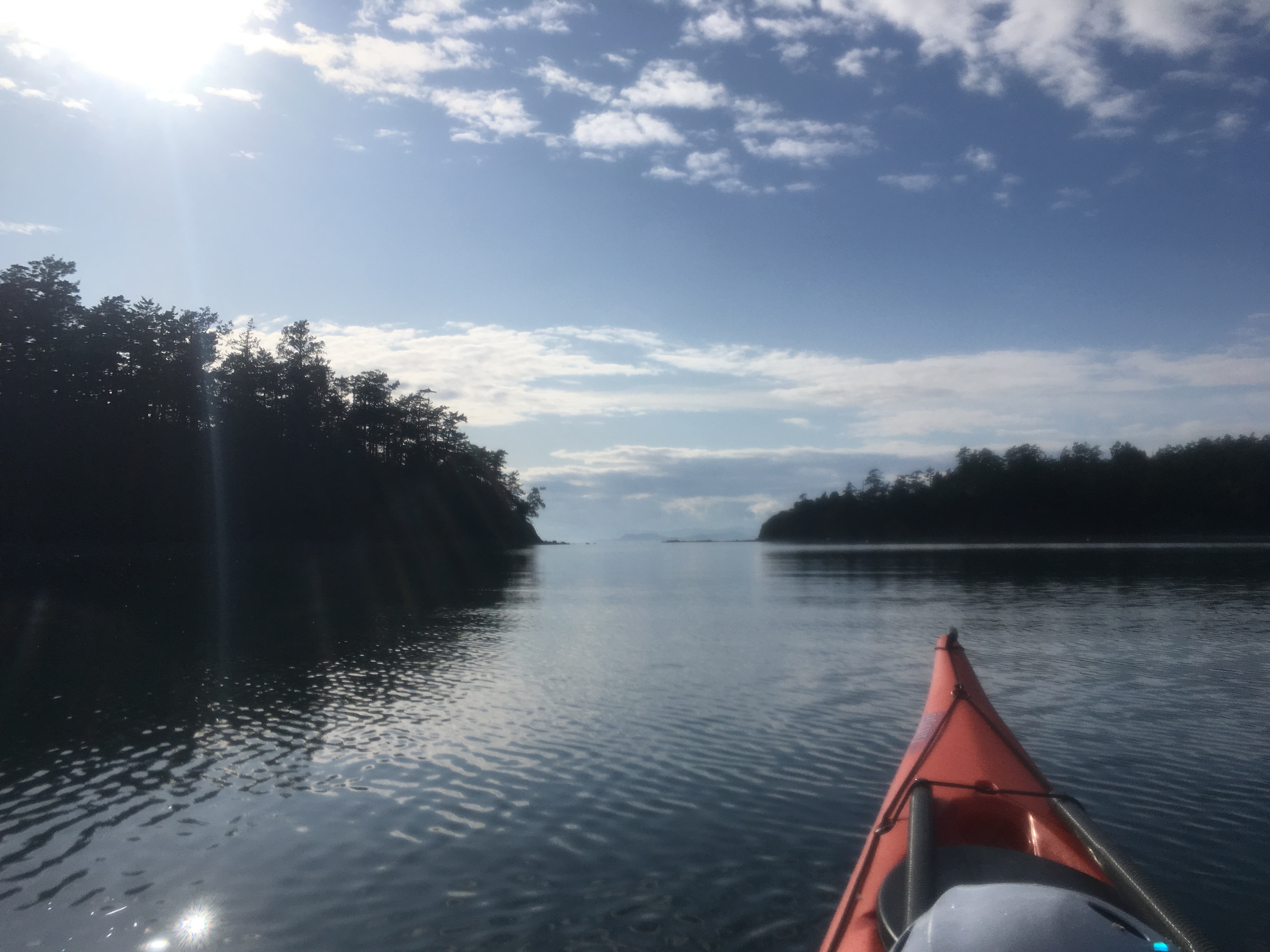
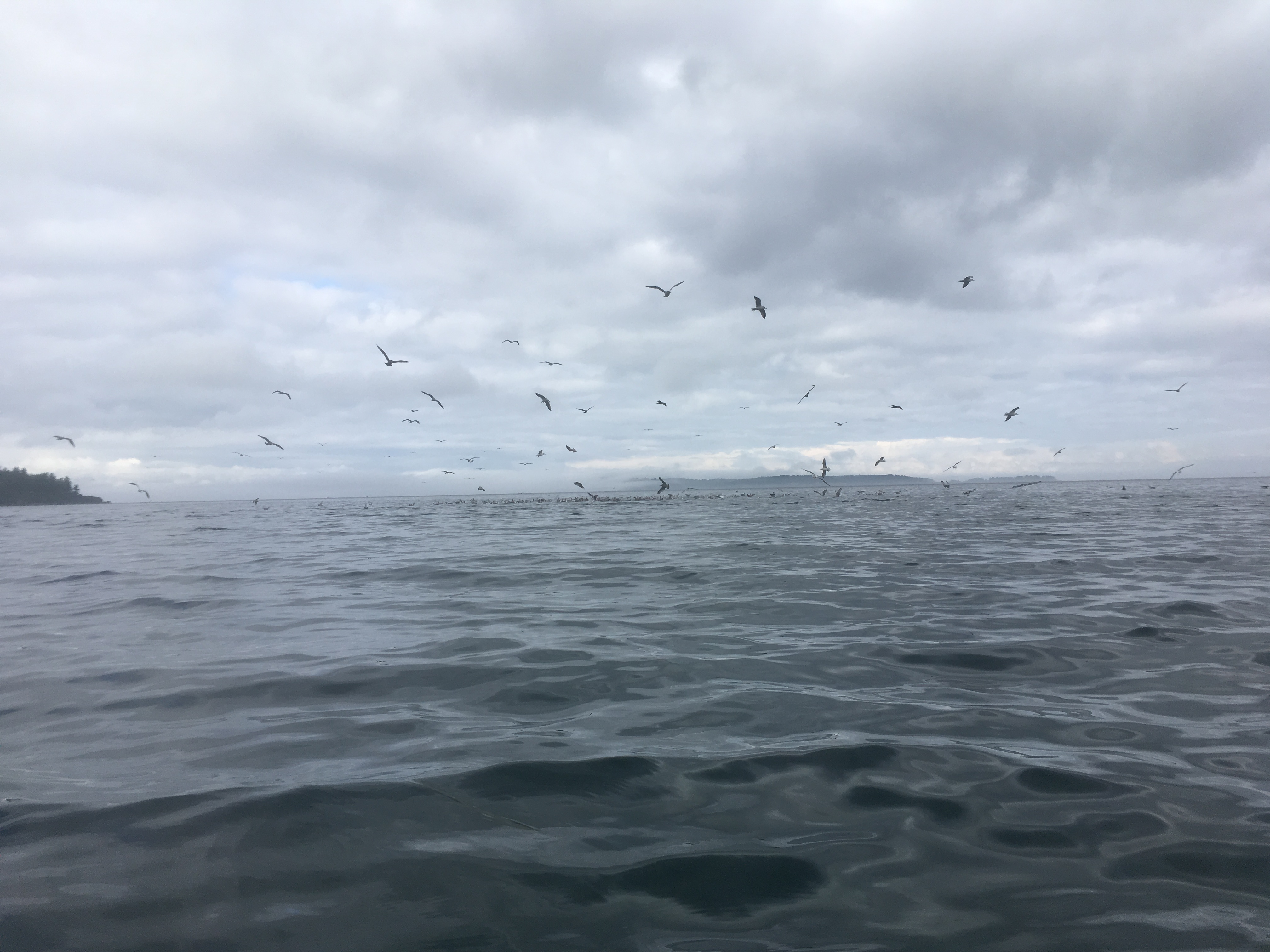
Maybe a whale
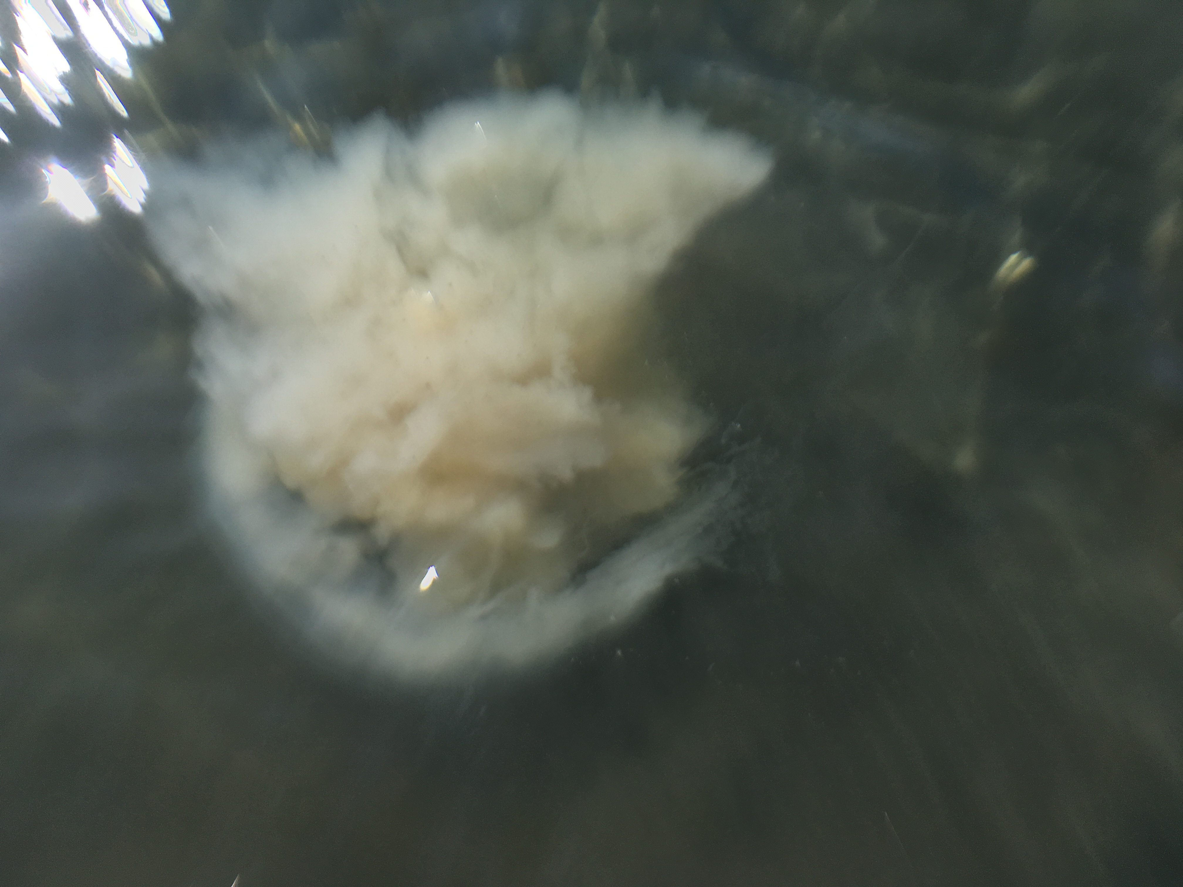
Definitely a jelly
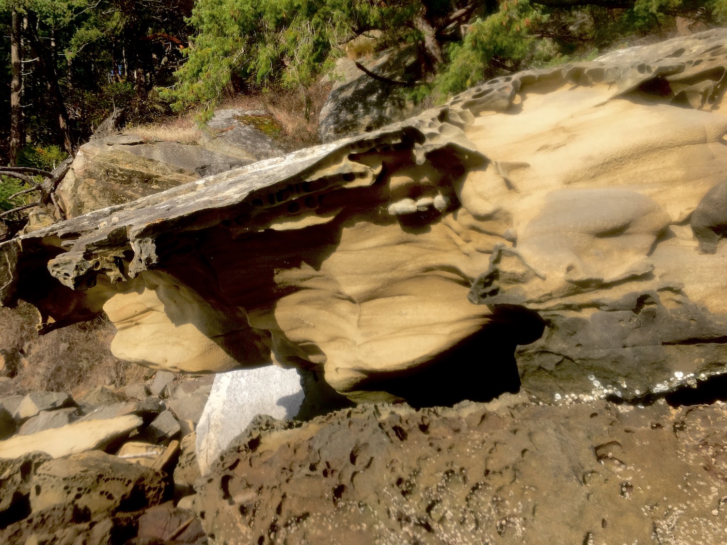
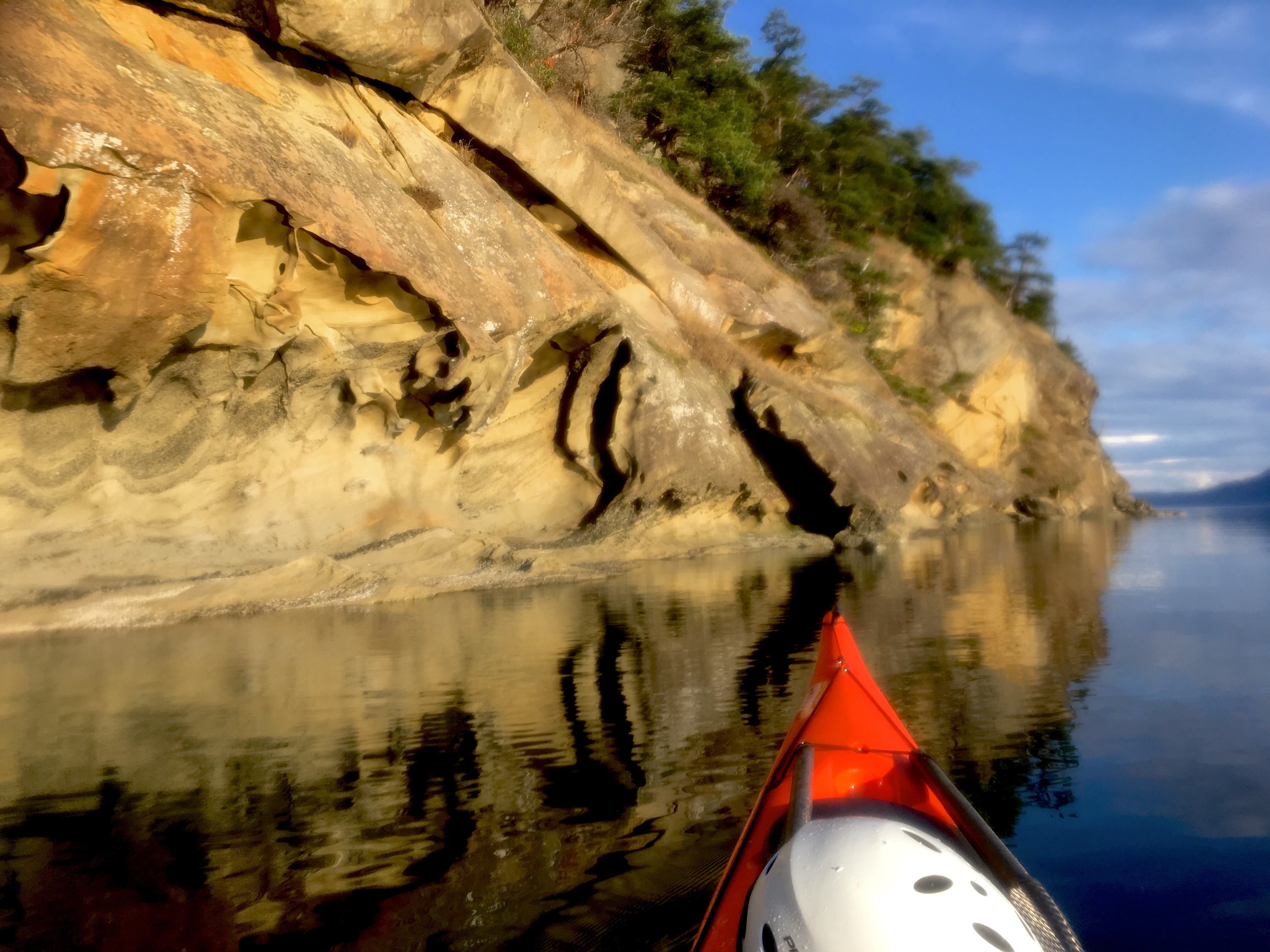
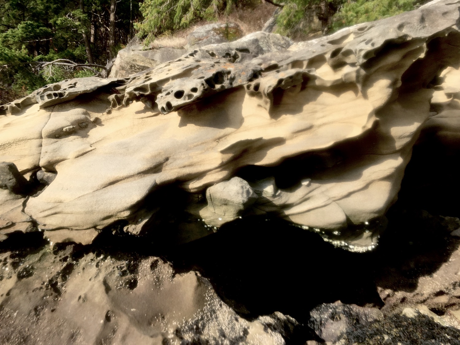
Gorgeous geology of Sucia
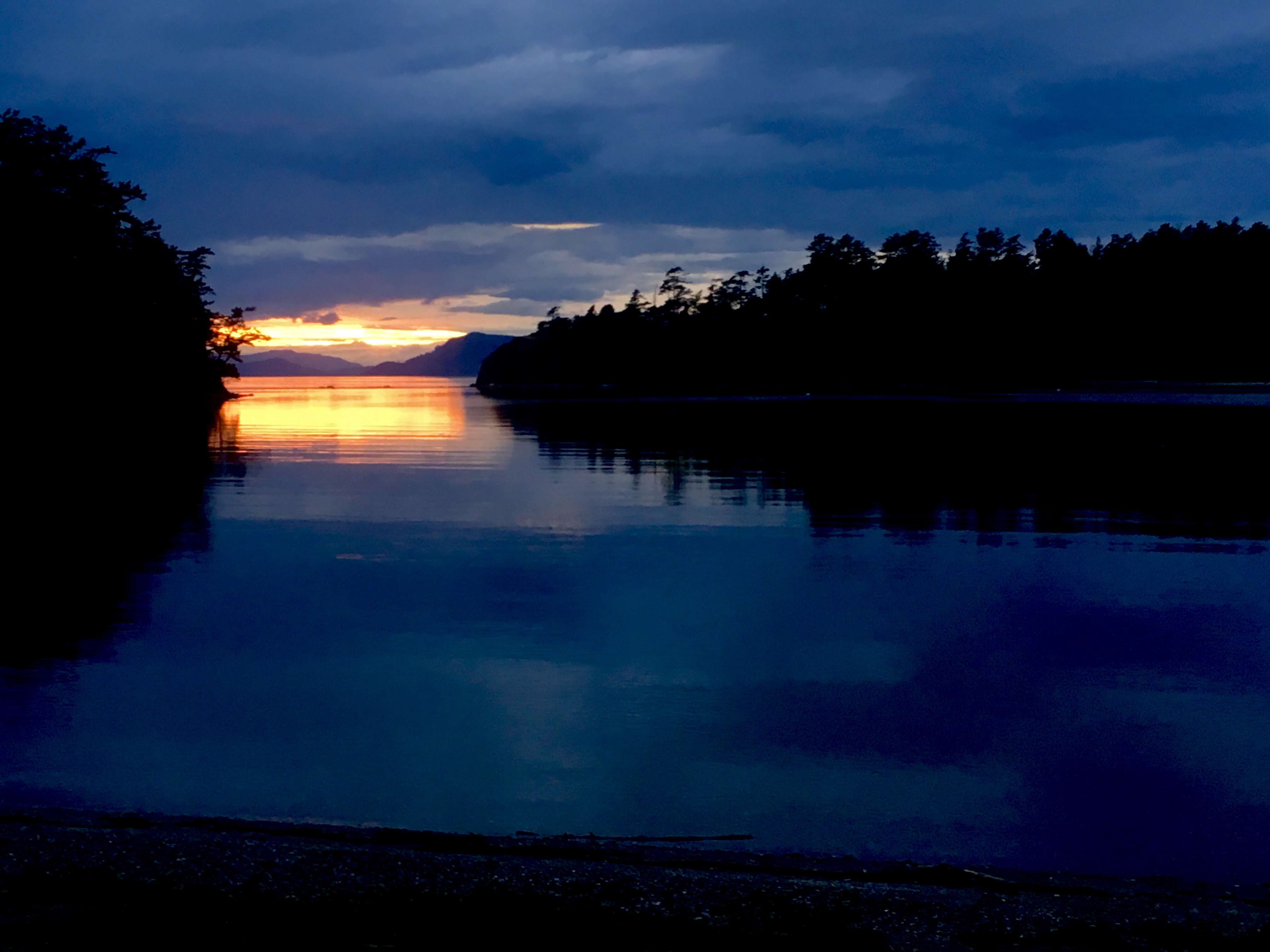
Sunset day 2
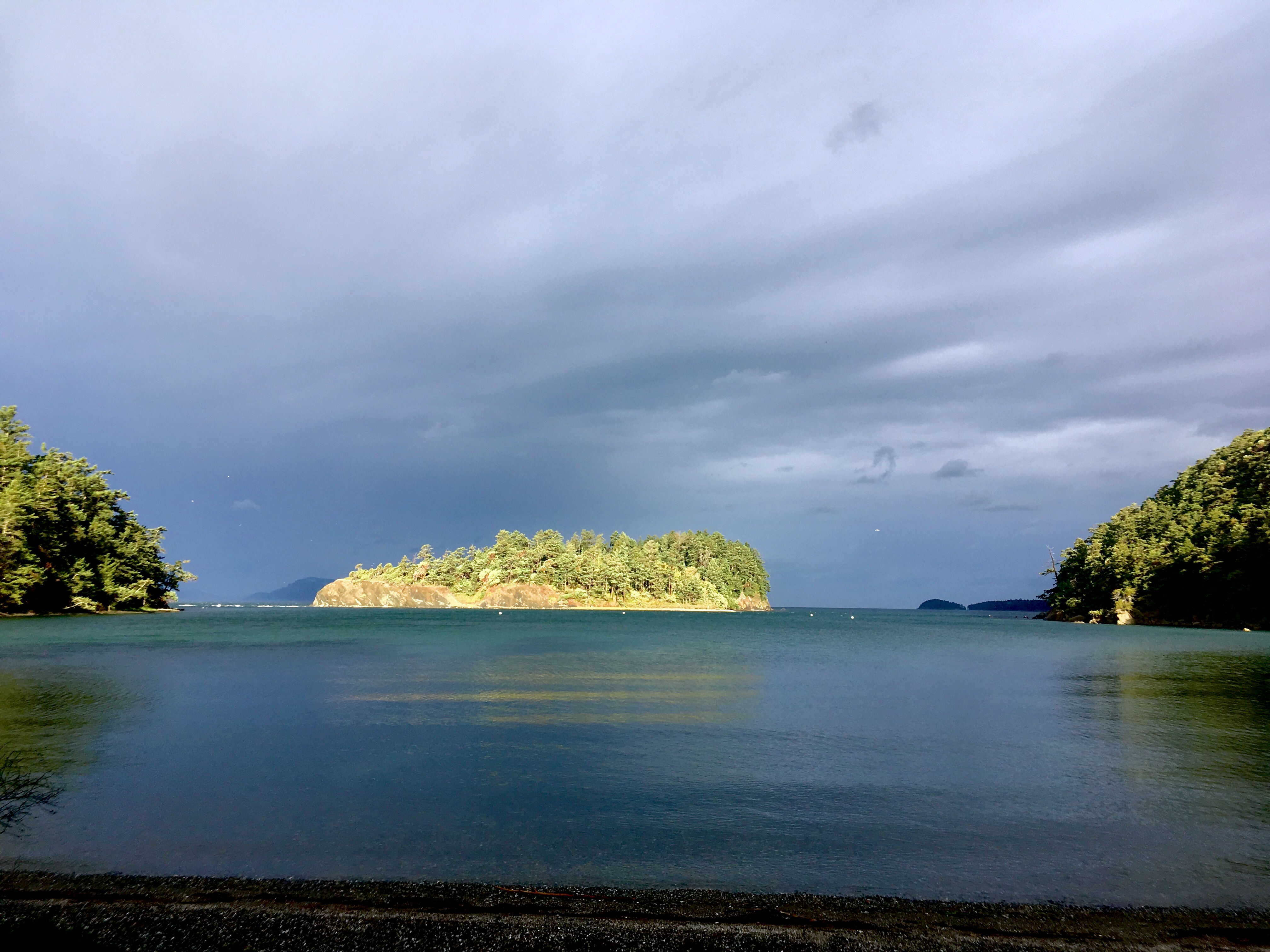
Stormy! (Waves on left)
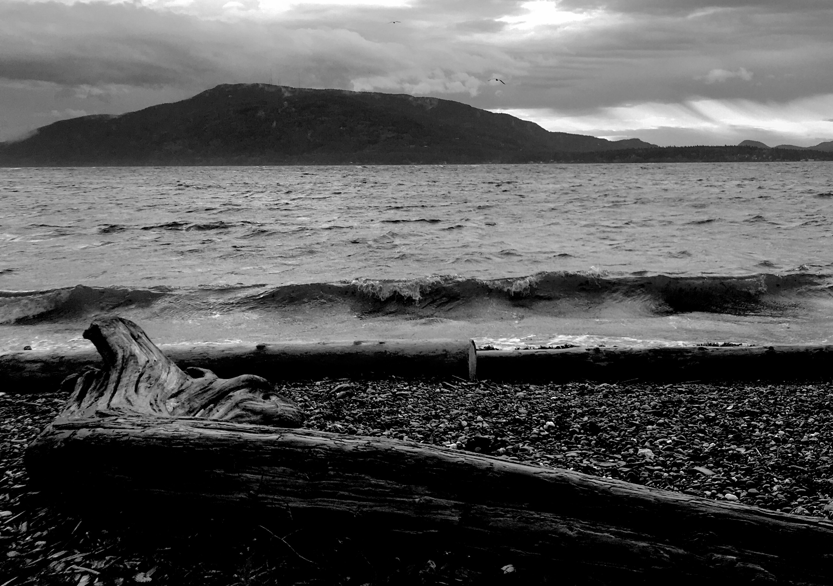
Stormy waves!
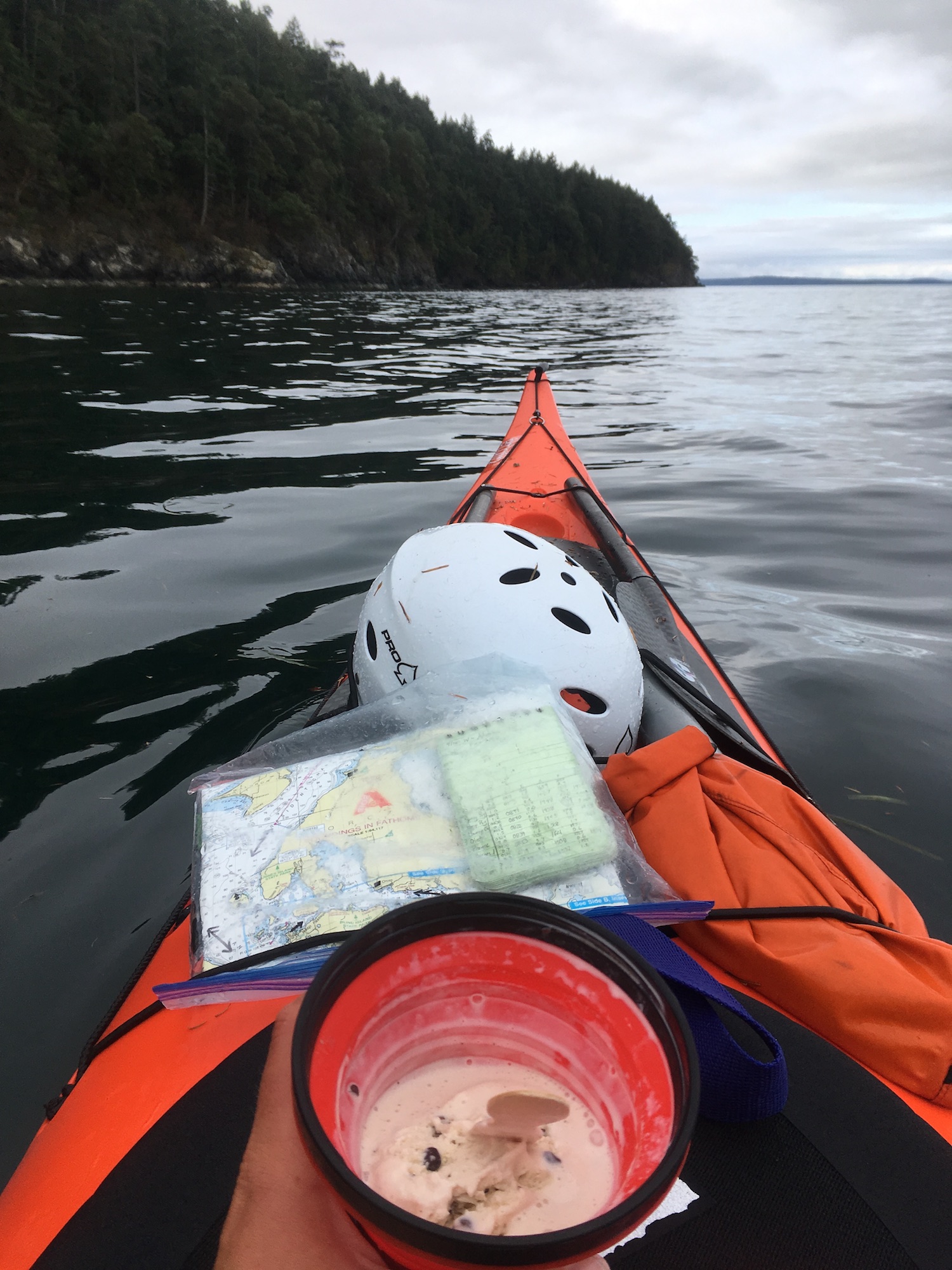
Ice cream on the water!
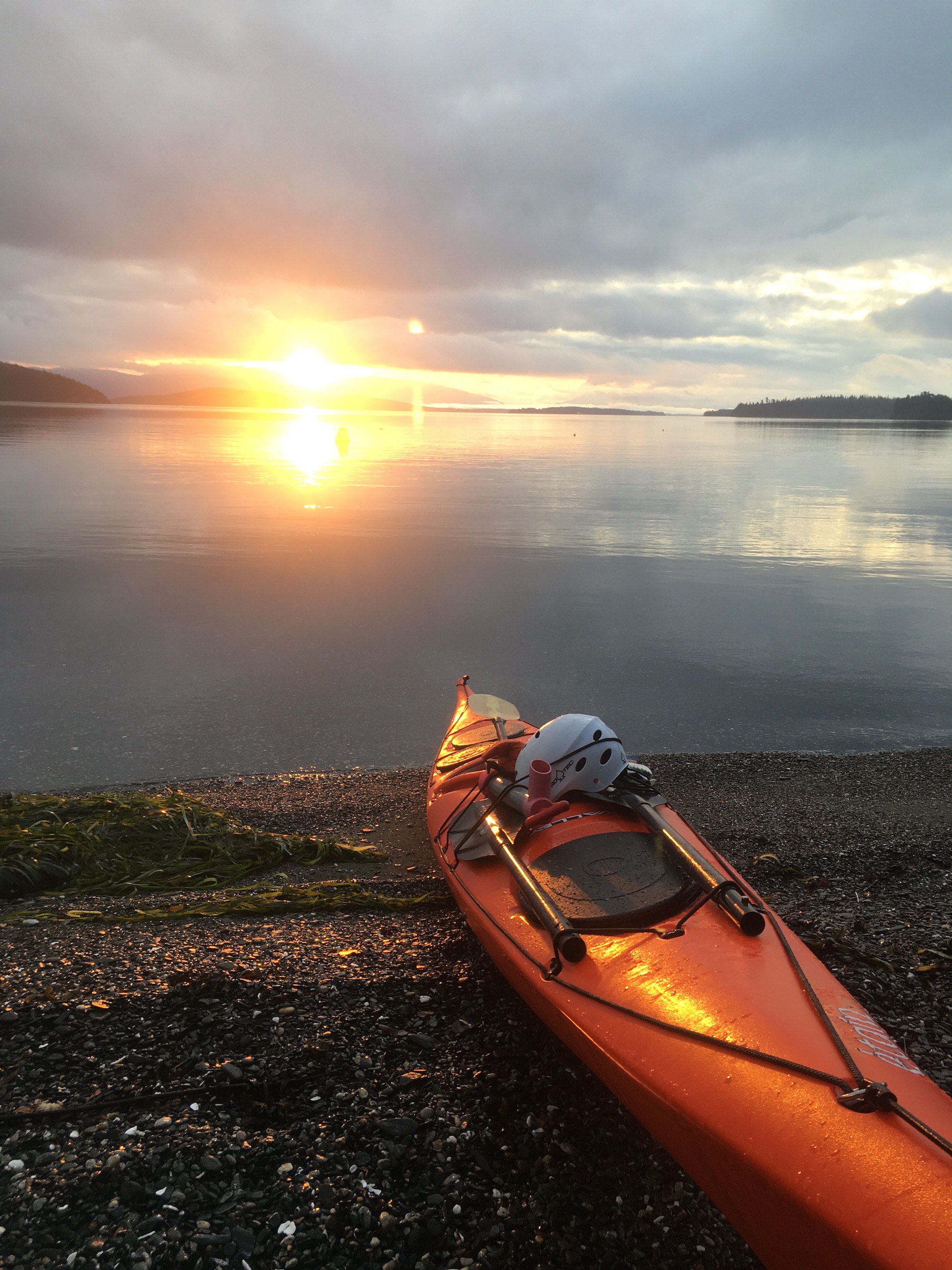
Stunning sunrise
Reflecting
This was an incredible capstone/culminating experience for me. At the beginning of the summer, I wouldn’t have paddled alone around Burrows Island (right in our backyard), let alone crossed Rosario and done a circumnavigation of Orcas over multiple days! It shows how much I’ve learned and grown that I’m now comfortable with such an expedition.
The fact that I paddled this circumnavigation solo also meant I got my first real experience with pacing. When I paddle with a more experienced buddy, I tend to match their pace. On my own, though, my pace fluctuated wildly the first couple days. Again, by day three of paddling I started to hit my stride. I think on average I was covering just over three nautical miles per hour of paddling, including breaks. In future I’d like to work on increasing my “default” pace.
As usual, traveling alone tends to feel…well, lonely. At least for the first day or so. By day three, though, I hit my stride and got into exploring on my own. I still prefer traveling with friends – it’s safer to have two people out on the water, and more fun to be able to play off each other. But I maintain that solo trips are deeply rewarding as well!
As always, a huge thanks to AKT for the use of excellent equipment. Thanks also to Megan and Erik for serving as my designated "responsible adults" and contact points throughout my trip.